
eBee Classic
Product Description
Why choose the eBee Classic?
The senseFly eBee Classic is a fully autonomous and easy-to-use mapping drone. Use it to capture high-resolution aerial photos you can transform into accurate orthomosaics (maps) & 3D models.
Efficient
The eBee Classic can cover up to 12 km2 (4.6 mi2) in a single automated mapping flight, while flights over smaller areas, at lower altitudes, can acquire images with a ground sampling distance of down to 1.5 cm (0.6 in) per pixel.
Easy
The eBee Classic is the easiest to use mapping drone on the market—just throw it into the air. It then flies, captures images and lands itself. No piloting skills required!
Safe
The eBee Classic weighs just 700 g (1.5 lb), vastly minimising its kinetic energy. Plus, senseFly’s cutting-edge autopilot manages a wide range of intelligent failsafe behaviours.
Complete
The eBee Classic package contains all you need to start mapping: RGB camera, batteries, radio modem and eMotion software. Then, process and analyse the eBee’s images using software such as Pix4Dmapper (optional).
Cameras & Accessories
Multiple cameras and accessories are available for the eBee Classic, so you need only invest in the configuration that suits your business’ needs.
- senseFly S.O.D.A.
- Parrot Sequoia+
- thermoMap
- senseFly Corridor
- Ping USB
- senseFly SmartCharger
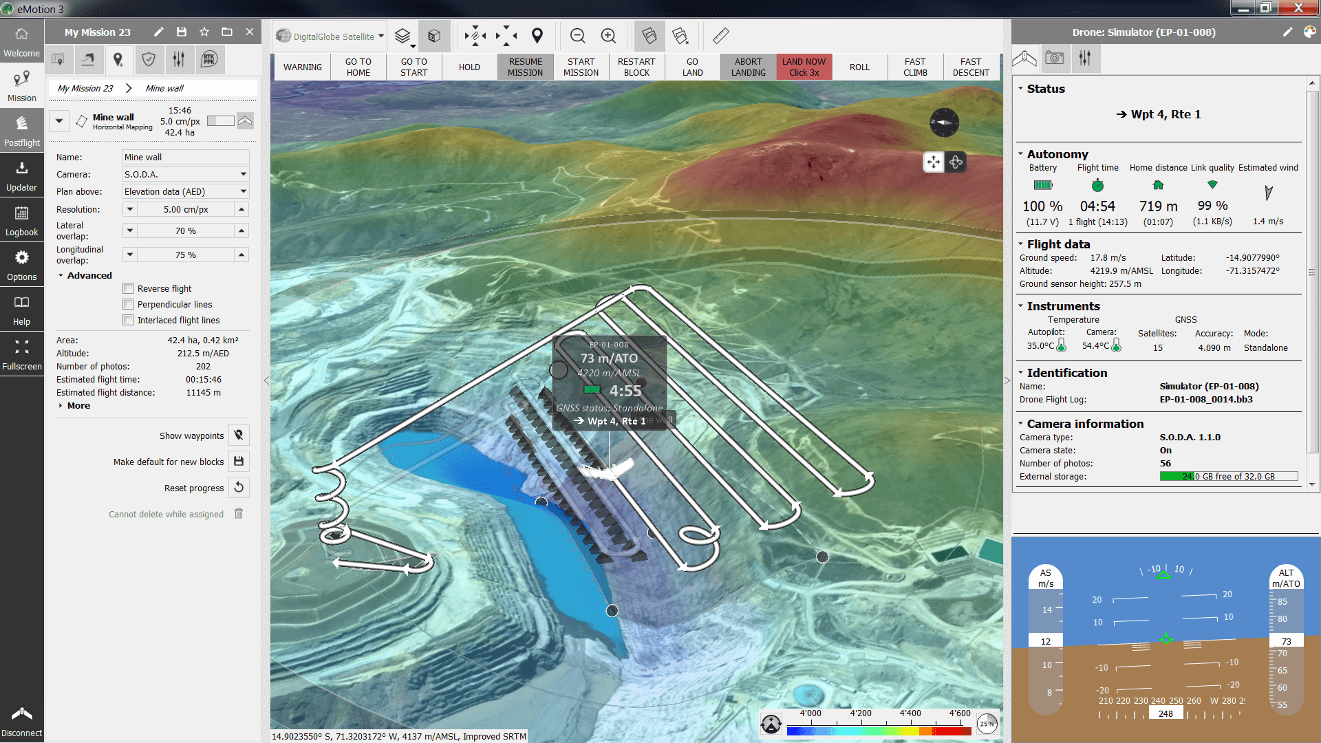
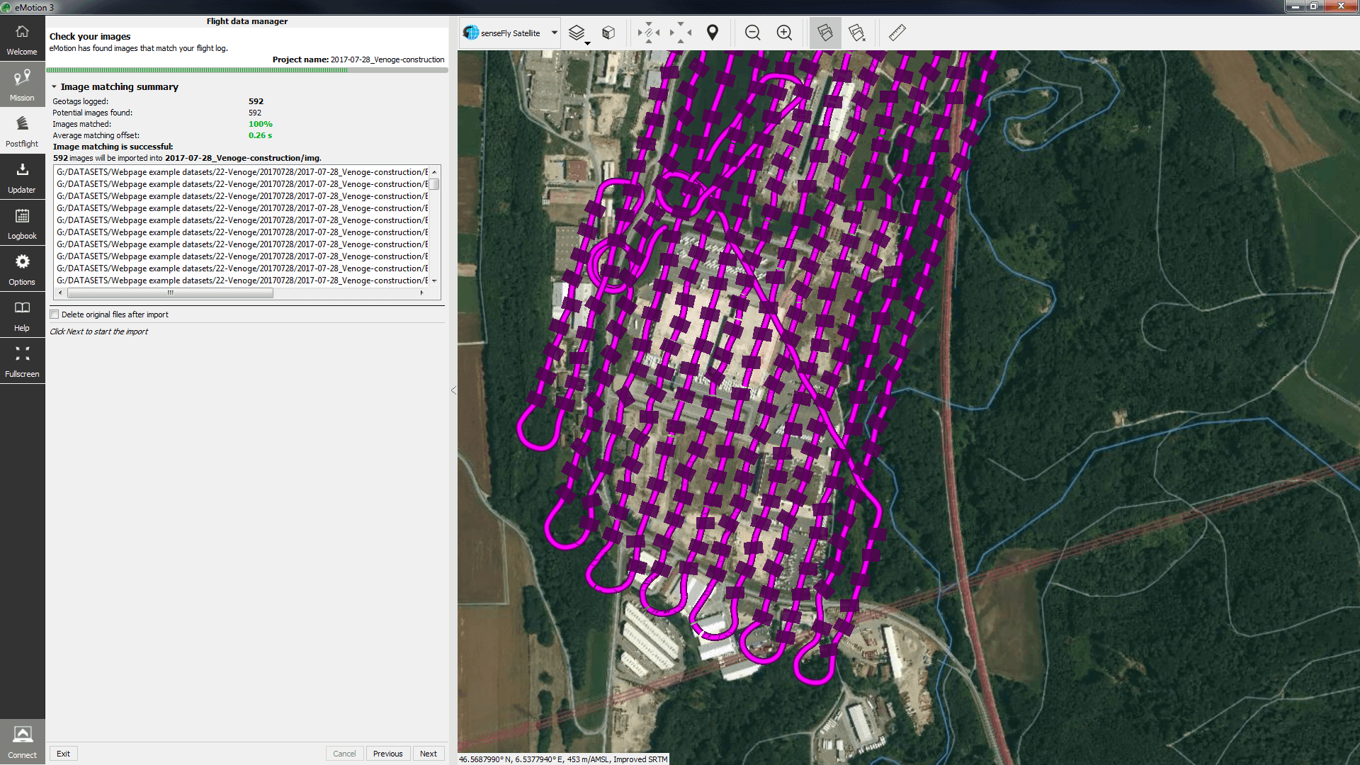
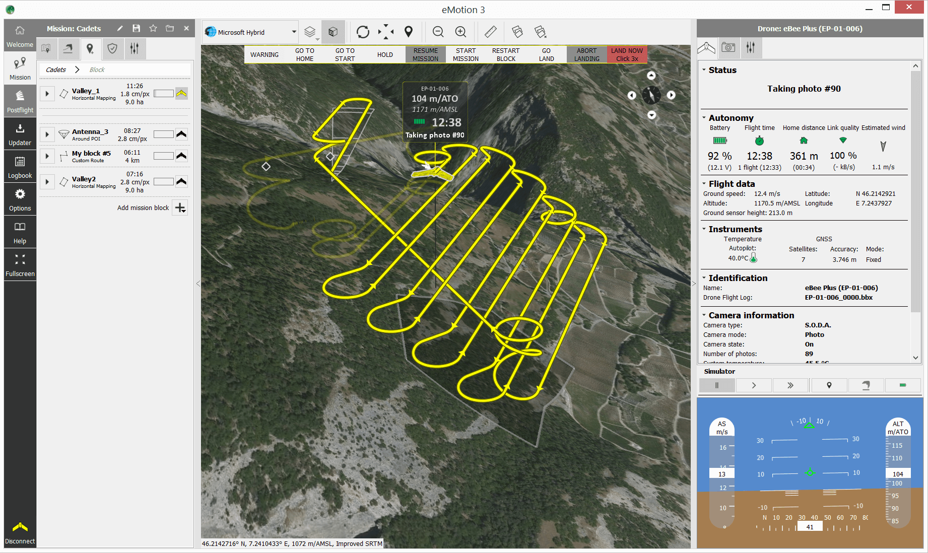
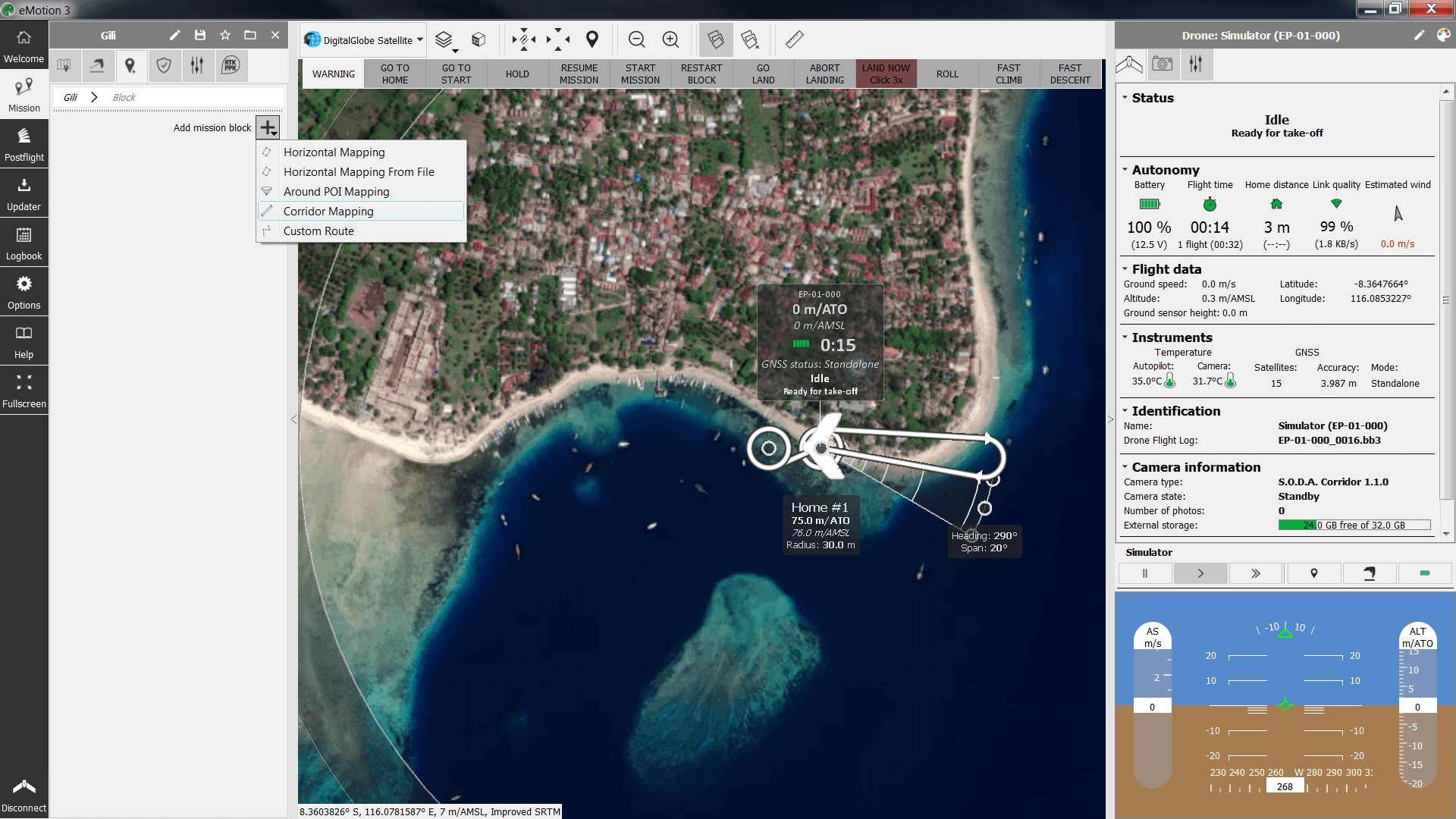
Includes eMotion 3
Simplicity meets power
Beginner-friendly, yet packed with advanced features to optimise results.
Flexible
Choice of flight modes, assistance features & mission planning blocks to suit every application.
Full 3D environment
For safer flights, consistent performance & improved data quality.
Connected
eMotion connects to your drone, desktop & cloud software, survey-grade base stations, weather updates, airspace data & more.
PRODUCT INFO
- Product Category: UAV