
eBee AG 360
Product Description
senseFly Ag 360
senseFly’s Ag 360 is a complete aerial crop analysis system. The precise, timely data it provides—combined with ground truthing and agronomic knowledge—drives accurate decision making, for a better quality crop, higher yields and greater profits.
-
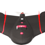
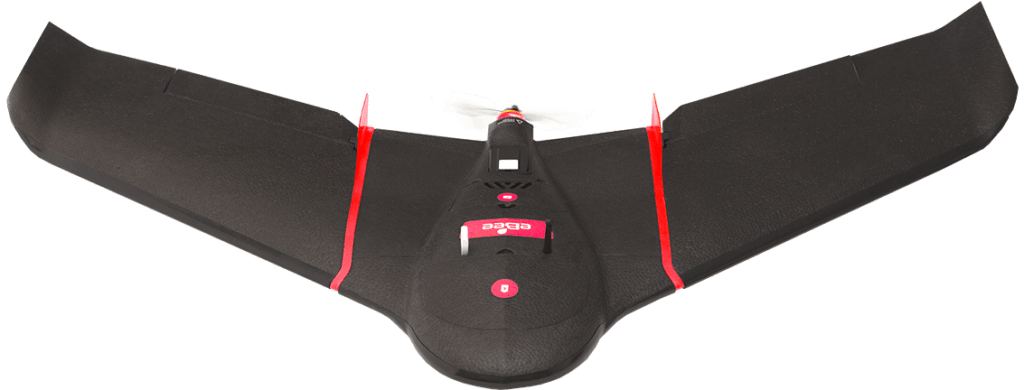
- eBee SQ Drone
-
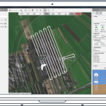
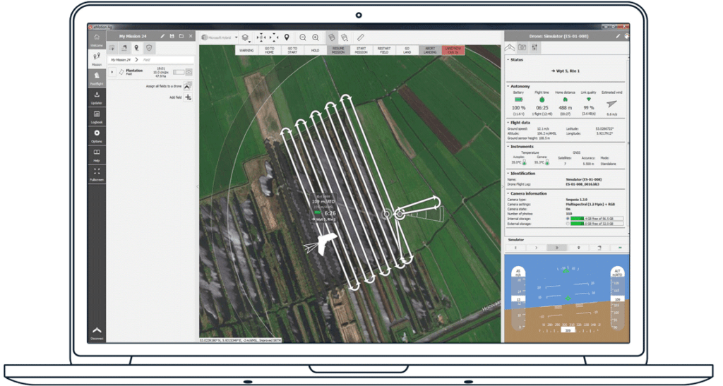
- eMotion AG Software
-
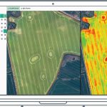
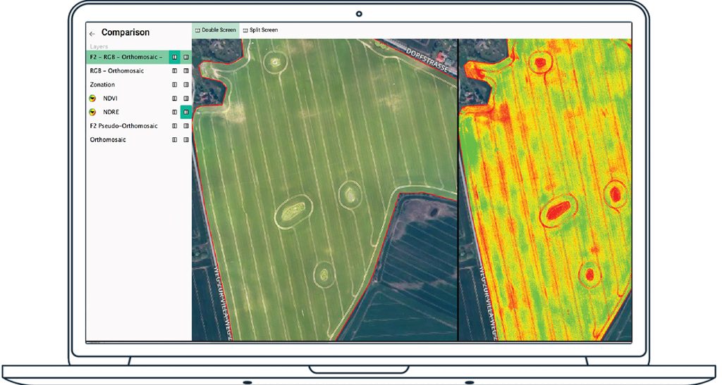
- Pix4DFields Image Processing Software


NDVI index map for variable rate application of sugar cane
NDVI index map for blueberry stress assessment
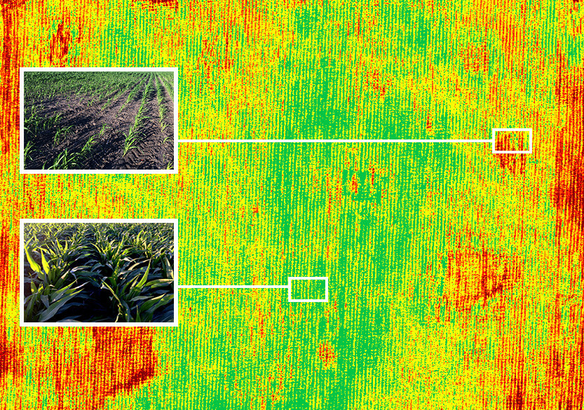
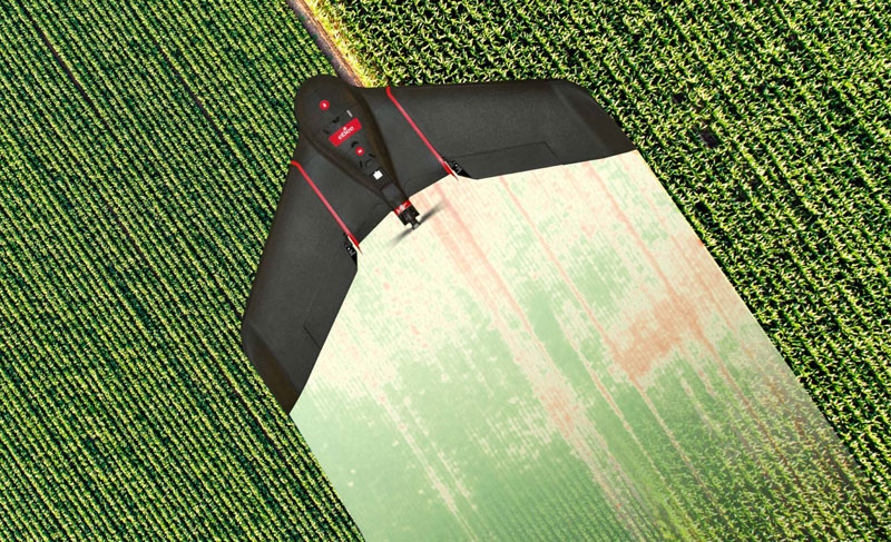
NDVI index map showing healthy and struggling areas of a corn crop
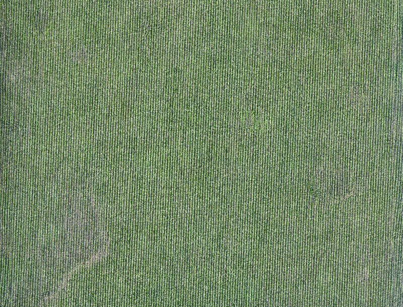
RGB orthomosaic of a corn field
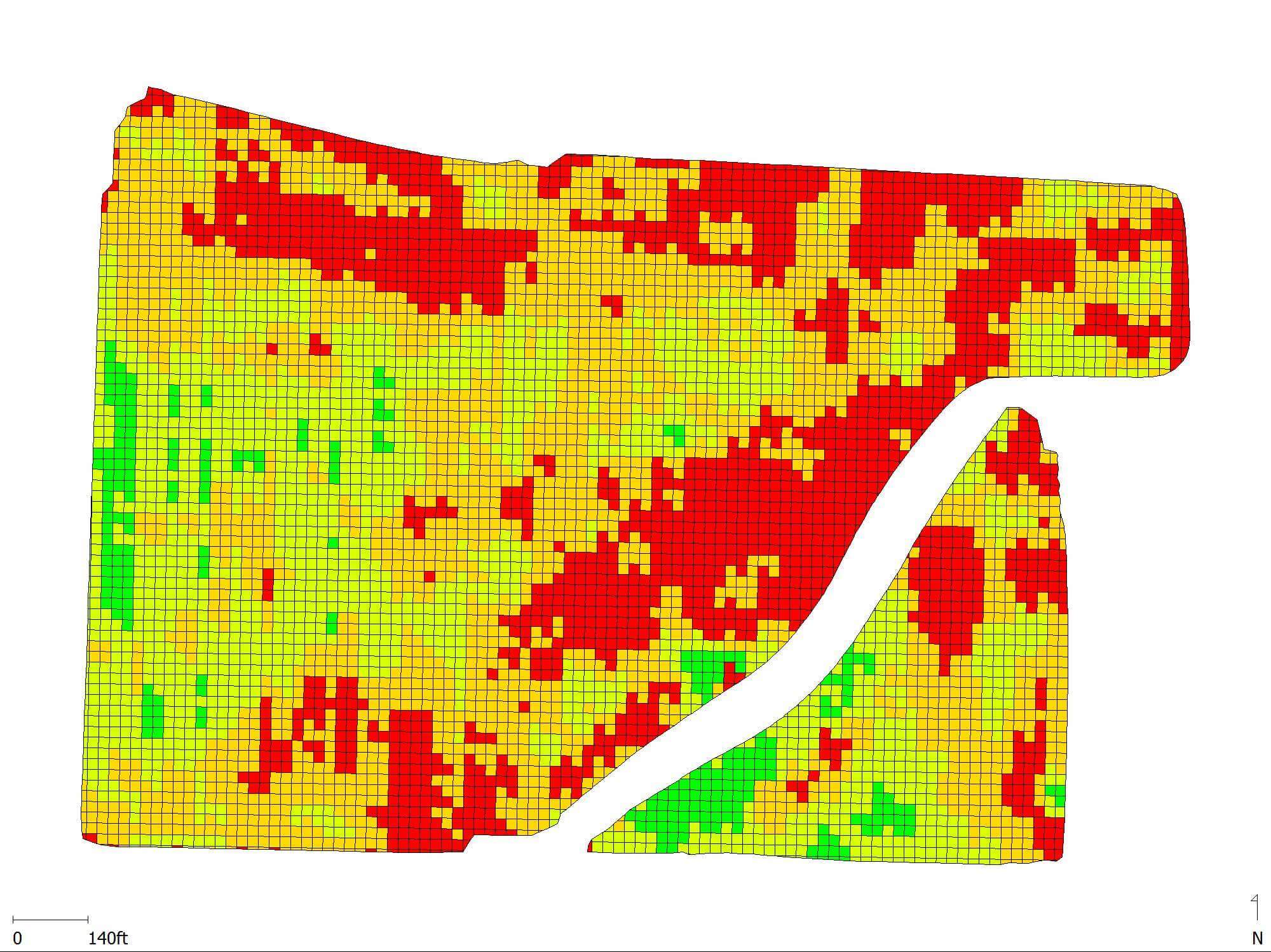
A machine-readable prescription, or application map, exportable in .shp format.
PRODUCT INFO
- Product Category: UAV