
Pix4Dmapper
Product Description
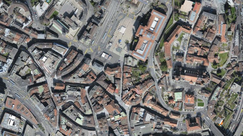
![]()
Capture
Gather RGB, thermal or multispectral images with any camera. If you are using a drone, automate flight and image-data transfer with Pix4Dcapture.
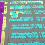
Digitize
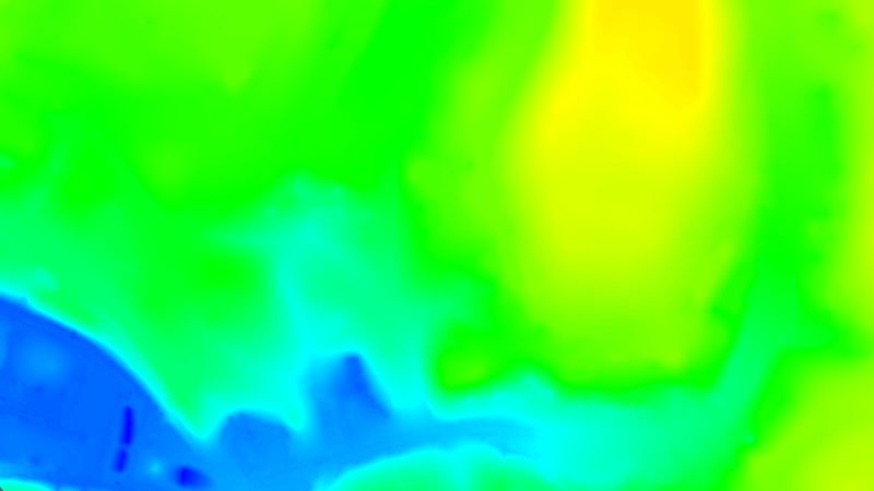
Pix4Dmapper transforms your images into digital spatial models. Seamlessly process your projects using the cloud or the desktop photogrammetric digitization platform.
Check
Assess and improve the quality of your project. The quality report gives a preview of the generated results, calibration details, and many more project quality indicators.
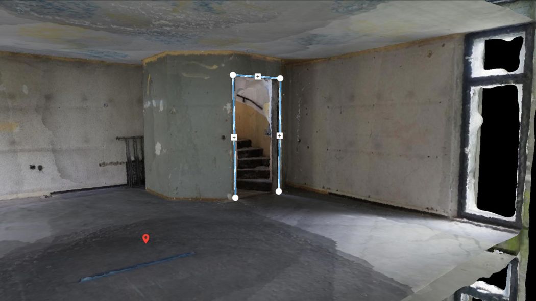
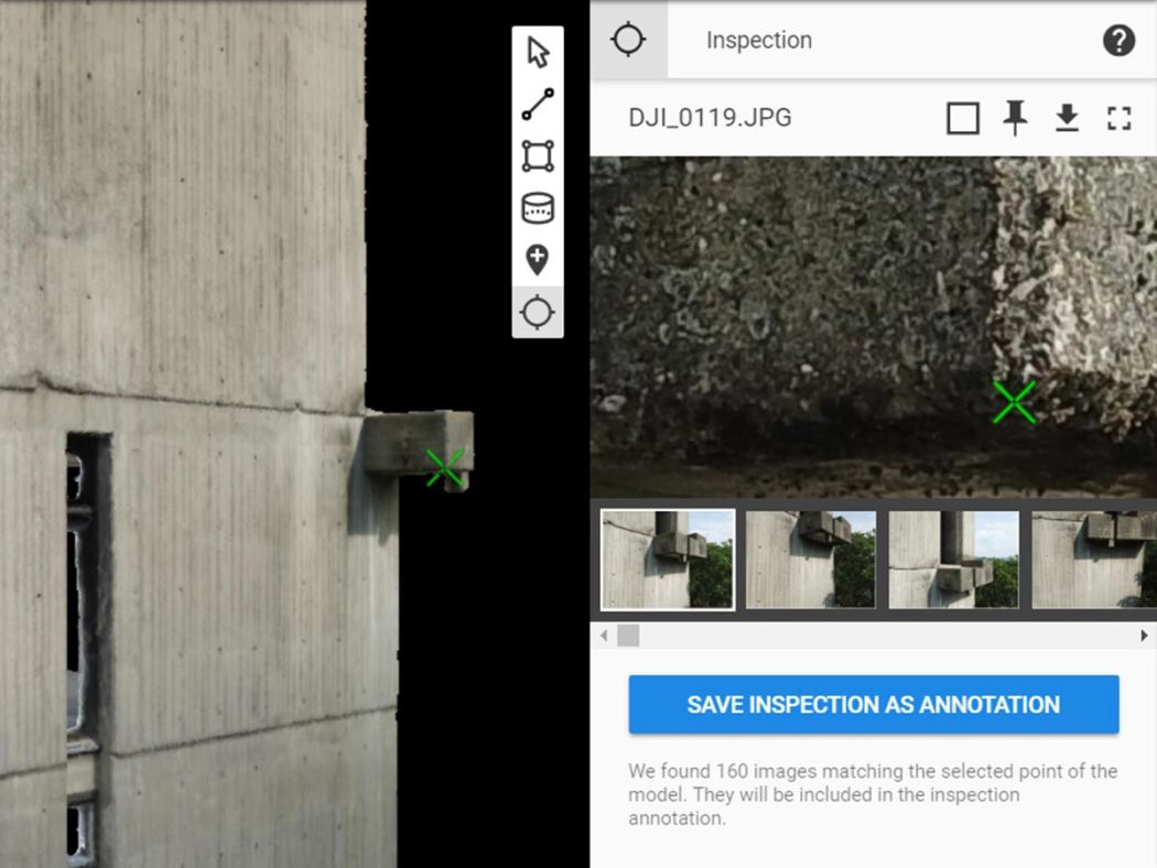
Measure & Inspect
Measure distances, areas, and volumes. Extract elevation profile data and perform virtual inspections.
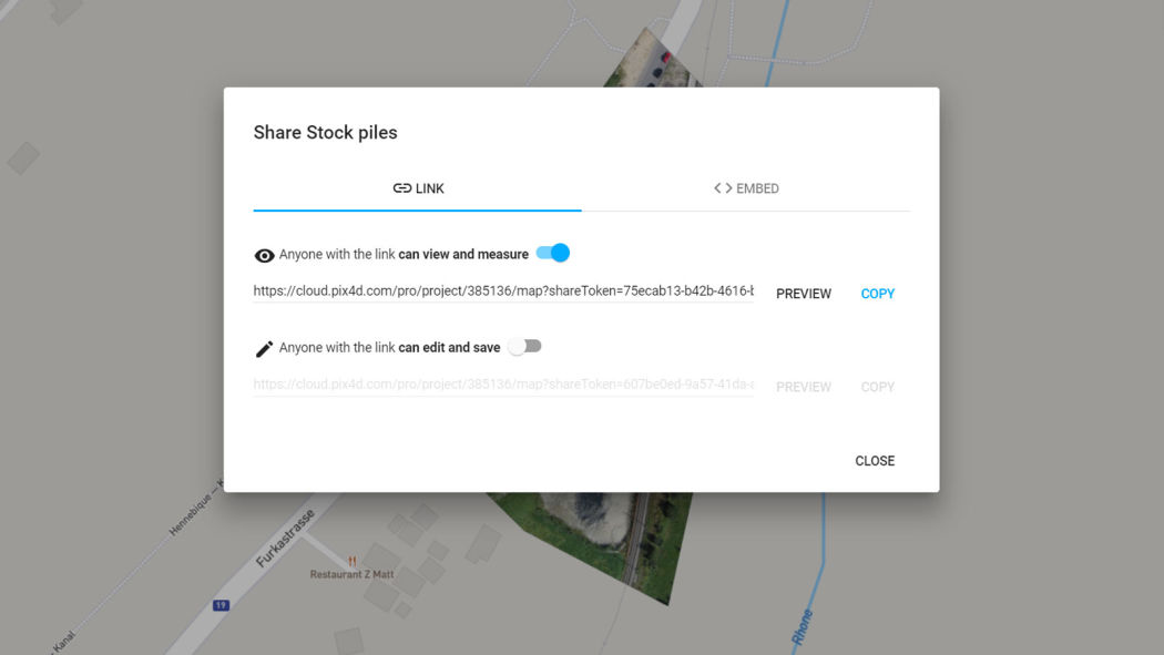
Collaborate & share
Streamline project communication and teamwork. Build trust with your clients. Selectively and securely share project data and insights with your team, clients, and suppliers.
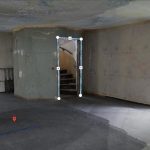
rayCloudtm
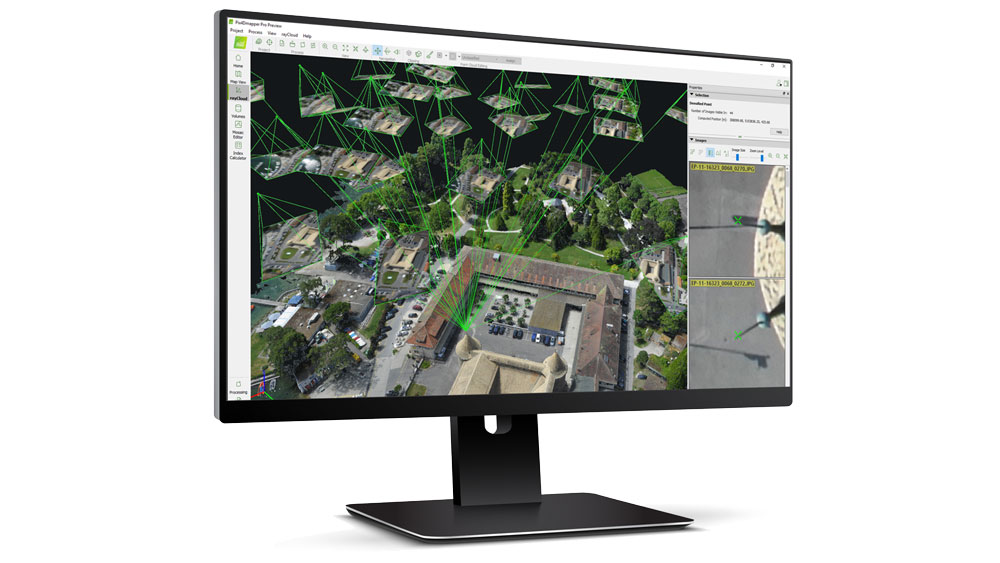
The power of understanding photogrammetry
A unique environment connecting your original images to each point of the 3D reconstruction to visually verify and improve the accuracy of your project. Create objects and video animations, measure distances and surfaces. Edit your point clouds, add ground control points and manual tie points, define processing areas and more.
Accurate 3D maps and models, purely from images
Please click to download full feature list.
-
- Collaborate & Share
-
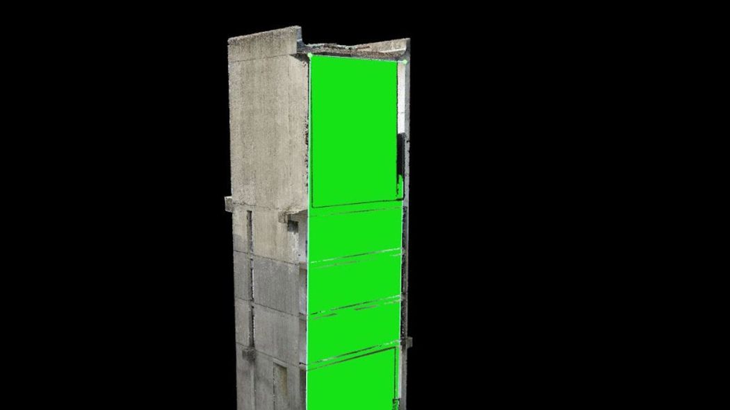
- Flatten & Smoothen Digital Surfaces
-
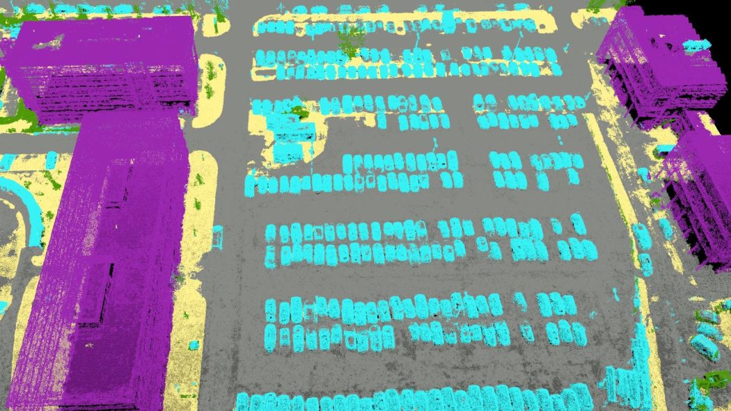
- Automatic Point Cloud Classification
-
- Easily Measure Surface, Distance, Volume & Elevation
-
- Inspect & Annotate
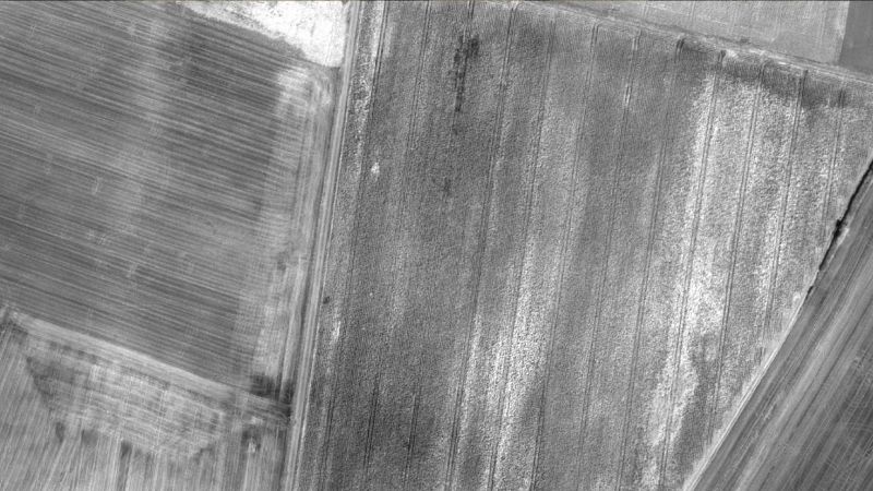
Photos first
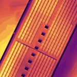
Any camera. Any drone. Any imagery. As long as it’s a .jpg or a .tif.
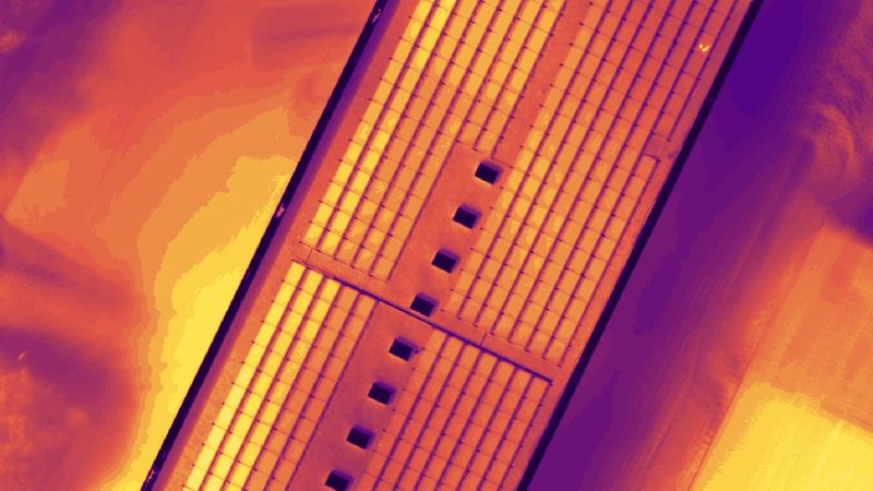
-

- Thermal Images
-

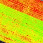
- Multispectral Images
-

- RGB Images
-

- Fisheye Images
-

- Drone Images
-

- Camera Rig Images
-

- 360° Camera Images
-

- Videos
Your projects. Your tools.
Easily export your digital maps and models to industry-compatible formats for further analysis or reporting.
-

- 3D Textured Mesh

-
- Thermal Maps
-
- Reflectance Maps
-
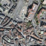
- Orthomosaic
-
- Index Maps

-

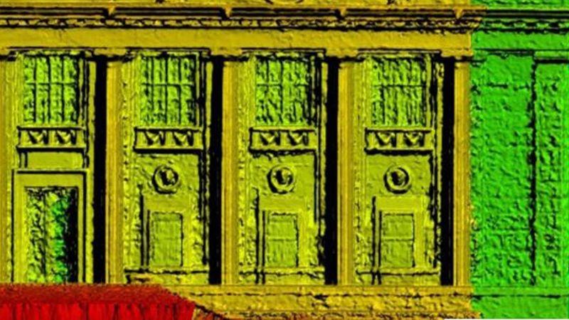
- Facade Orthomosaic

-

- Facade Digital Surface Model
-
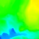
- Digital Terrain Model (DTM), Digital Elevation Model (DEM)
-
- Digital Surface Model (DSM)

-
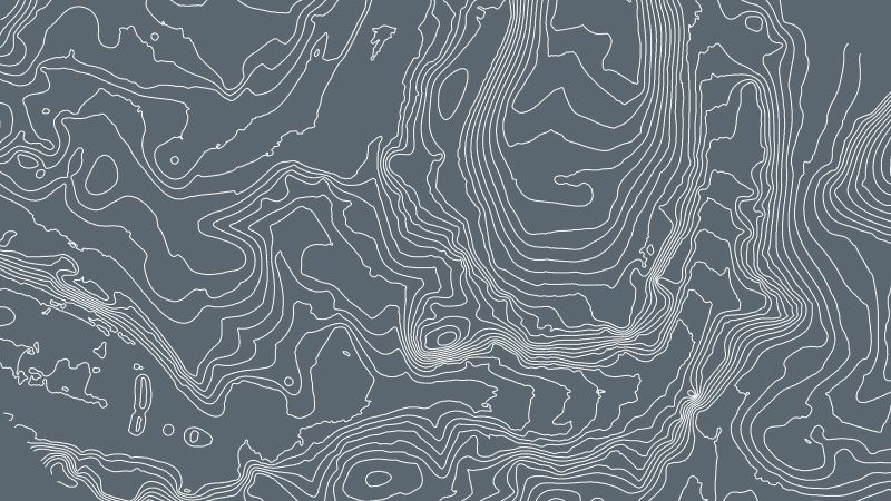
- Contour Lines
-

- Colored Point Cloud

-
- Classified Point Cloud

PRODUCT INFO
- Product Category: SOFTWARE